
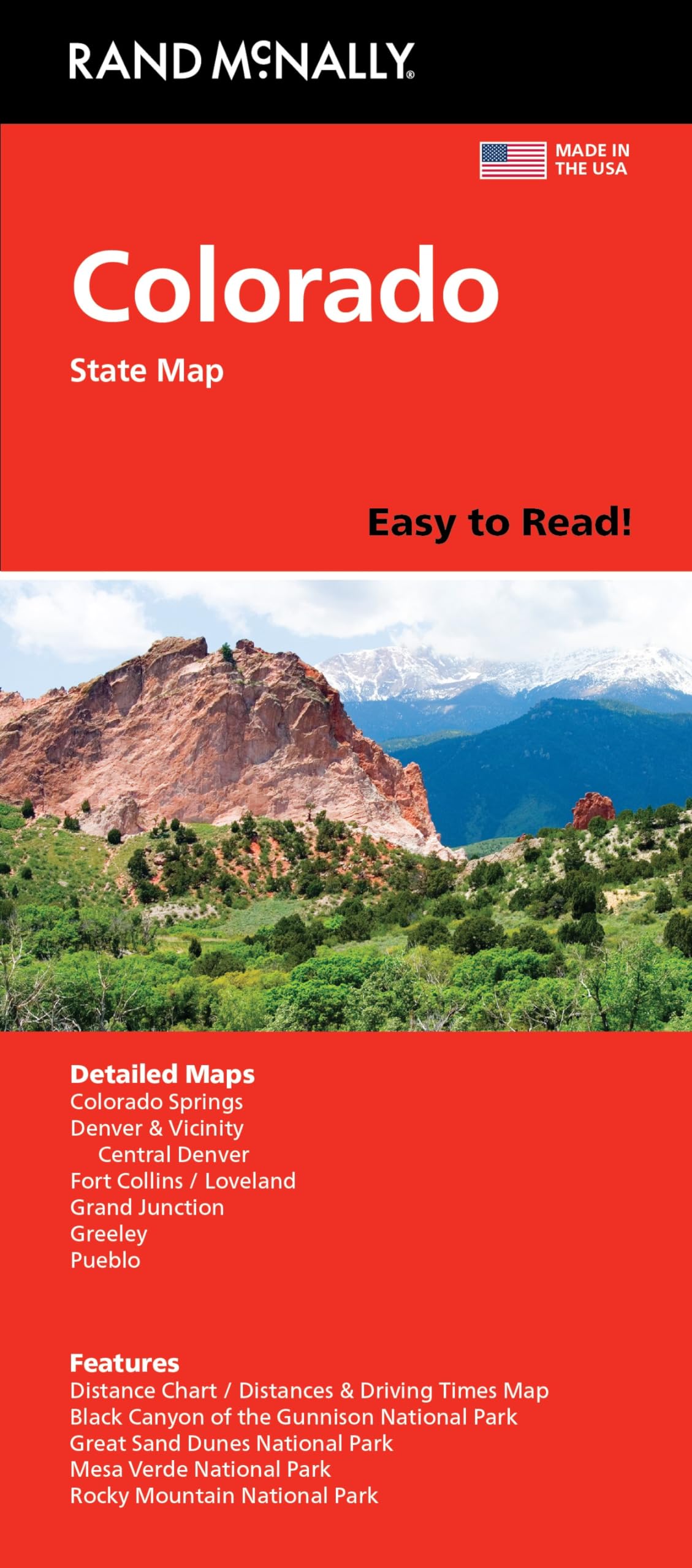

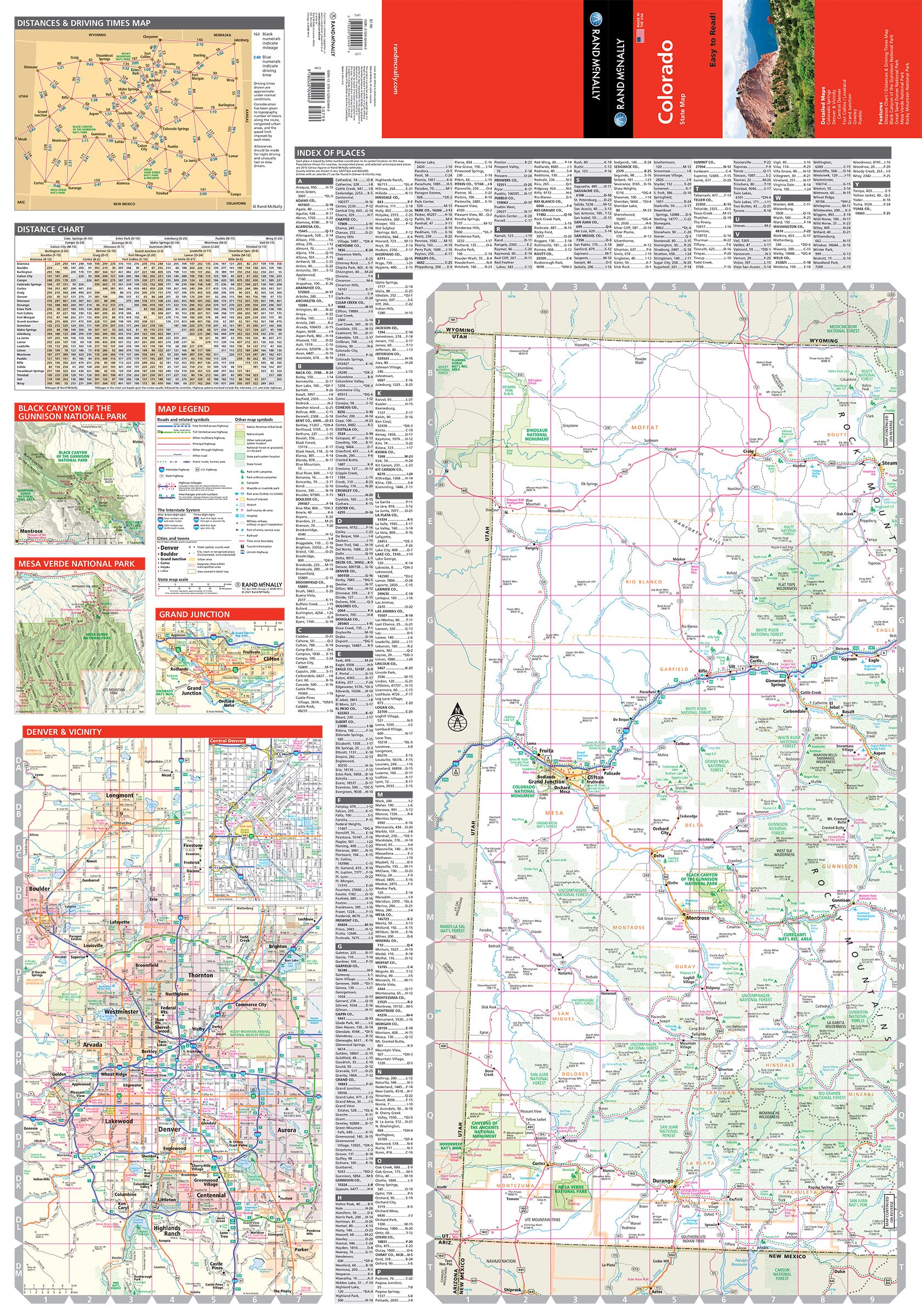

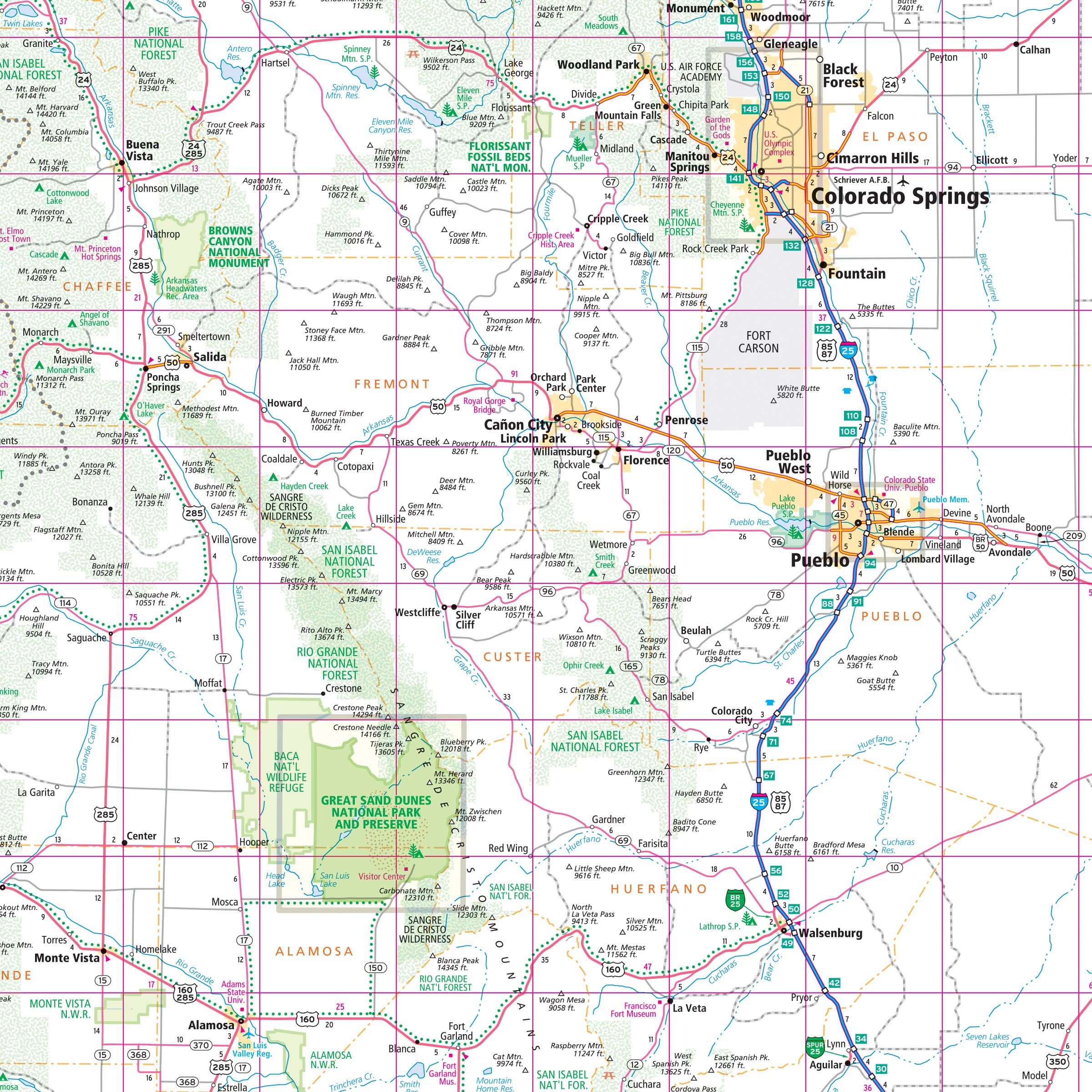
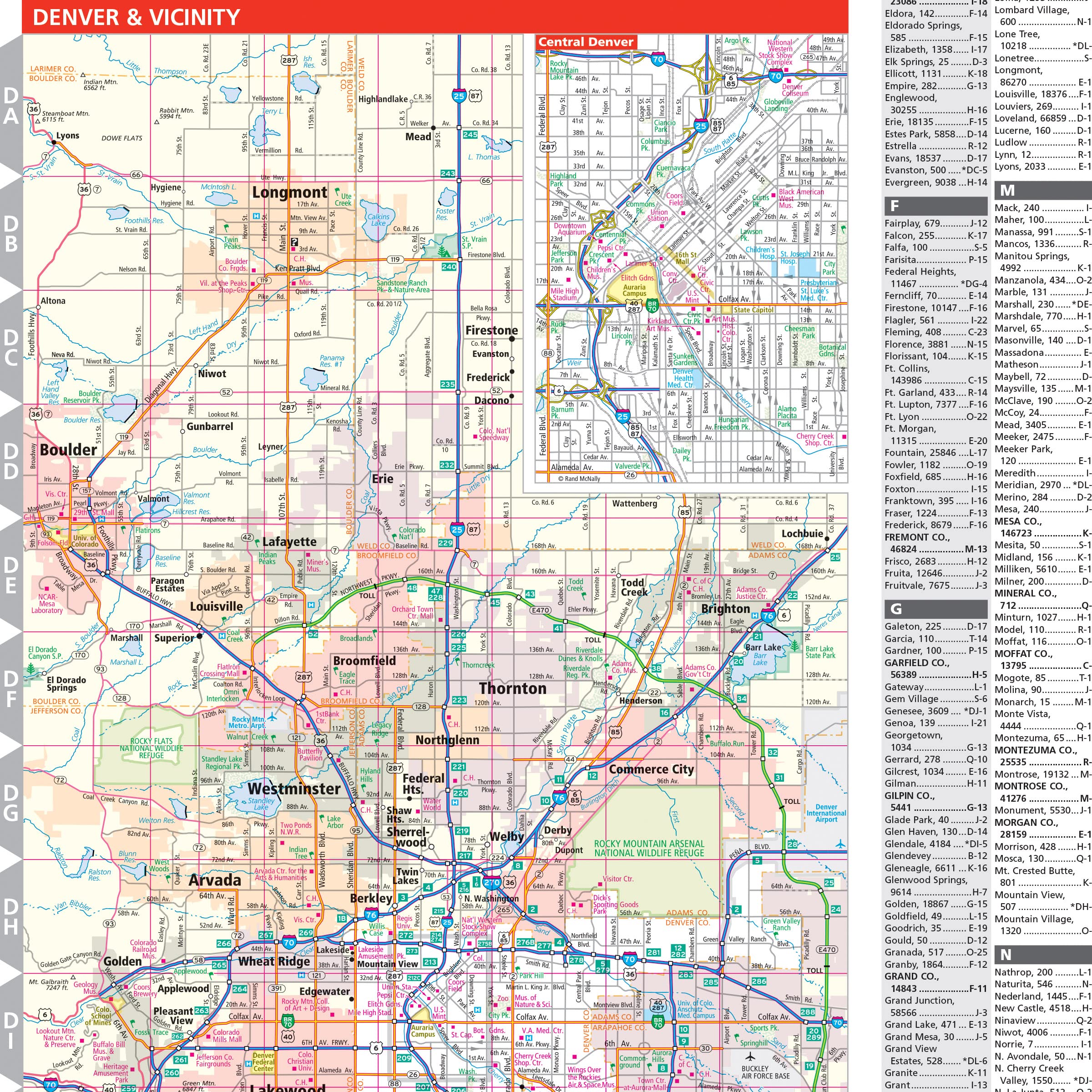
Rand McNally’s Easy To Read State Folded Map is a must-have for anyone traveling in and around Colorado, offering unbeatable accuracy and reliability at a great price. Our trusted cartography shows all Interstate, U.S., state, and county highways, along with clearly indicated parks, points of interest, airports, county boundaries, and streets. The easy-to-use legend and detailed index make for quick and easy location of destinations. You’ll see why Rand McNally folded maps have been the trusted standard for years. – Regularly updated, full-color maps. – Larger map with a bigger type size than the Rand McNally Folded Map. – Clearly labeled Interstate, U.S., state, and county highways. – Indications of parks, points of interest, airports, county boundaries, and more. – Mileage and driving times map. – Detailed index. Coverage Area Detailed maps of: Boulder, Colorado Springs, Denver & Vicinity, Downtown Denver, Fort Collins, Greeley, Mesa Verde National Park, Pueblo, Rocky Mountain National Park. Product Details: Dimensions (unfolded): 28″ x 40″.
Features
- Detail maps of major cities, a mileage chart, and a Mileages & Driving Times Map
- Regularly updated, Full-color maps
- Clearly labeled Interstate, U.S., state, and county highways
- Indications of county boundaries, schools, shopping malls, parks, golf courses, hospitals, airports, and points of interest
- Detailed index
- Copyright 2021
- Coverage Area Detailed maps of: Boulder, Colorado Springs, Denver & Vicinity, Downtown Denver, Fort Collins, Greeley, Mesa Verde National Park, Pueblo, Rocky Mountain National Park


![Wall Art Impact 30"x24" Poster Thematic Map - The Pilgrim Progress [Laminated]~](https://m.media-amazon.com/images/I/71B3ErUr4TL.jpg)
![Wall Art Impact 24"x39" Upside Down Political World Map. Rare Funny maps. [Laminated]](https://m.media-amazon.com/images/I/A1ozy4bAW2L.jpg)
Reviews
There are no reviews yet.