
Rand McNally’s Easy To Read State Folded Maps are a must-have for anyone traveling in and around these states, offering unbeatable accuracy and reliability at a great price. Their trusted cartography shows all Interstate, U.S., state, and county highways, along with clearly indicated parks, points of interest, airports, county boundaries, and streets. The easy-to-use legends and detailed indexes make for quick and easy locations of destinations. Rand McNally folded maps have been the trusted standard for years.
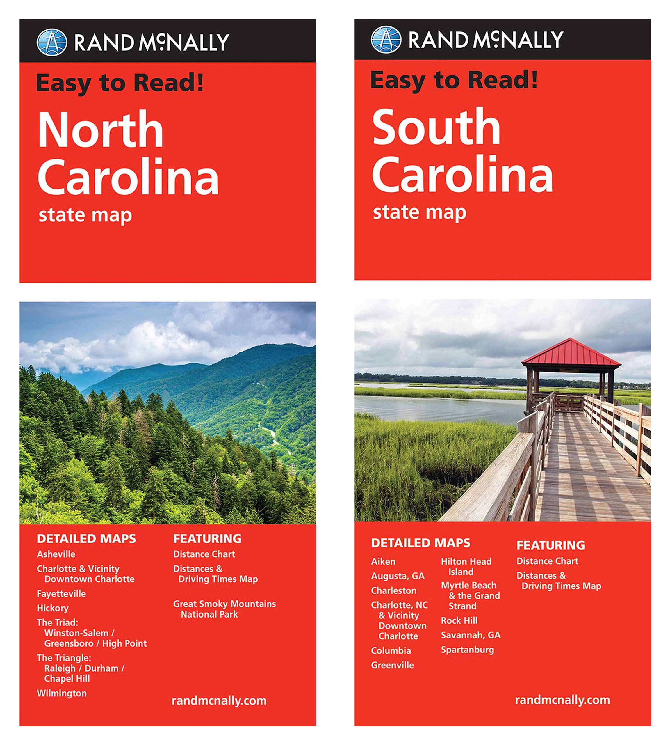
Rand McNally State Maps: North Carolina and South Carolina (2 Maps)
$17.95
These maps provide a geographical reference for learning about state features, highways, and points of interest.
Additional information
| Weight | 0.113 lbs |
|---|---|
| Dimensions | 24.1 × 10.9 × 1.3 in |


![Wall Art Impact 34"x24" Poster Large scale detailed political map of Oceania with major cities and capitals - 1982 Oceania [Laminated]](https://m.media-amazon.com/images/I/61Py1032UML.jpg)
Reviews
There are no reviews yet.