
Remote Sensing and Image Interpretation, 7th Edition is designed to be primarily used in two ways: as a textbook in the introductory courses in remote sensing and image interpretation, and as a reference for the burgeoning number of practitioners who use geospatial information and analysis in their work. Because of the wide range of academic and professional settings in which this book might be used, we have made the discussion “discipline neutral.” In short, anyone involved in geospatial data acquisition and analysis should find this book to be a valuable text and reference.


Remote Sensing and Image Interpretation
$95.06
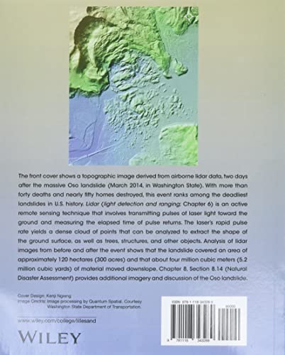
This textbook provides instruction on remote sensing and image interpretation for students of geospatial science.
Additional information
| Weight | 1.061 lbs |
|---|---|
| Dimensions | 18.8 × 3.3 × 23.4 in |


Reviews
There are no reviews yet.