
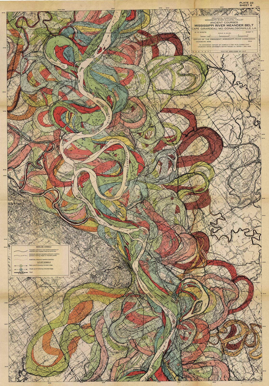
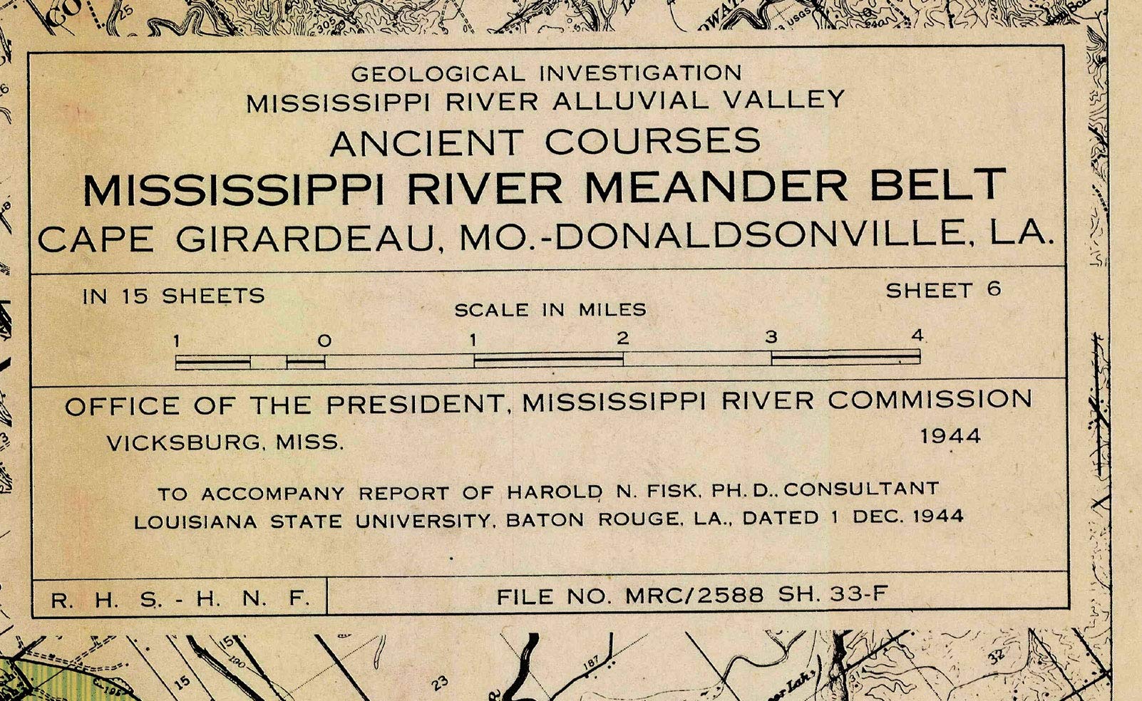
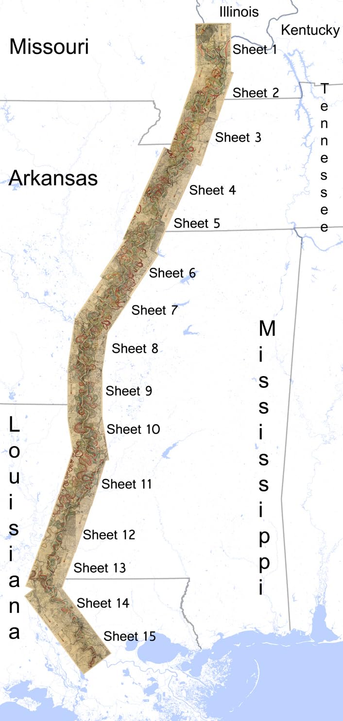
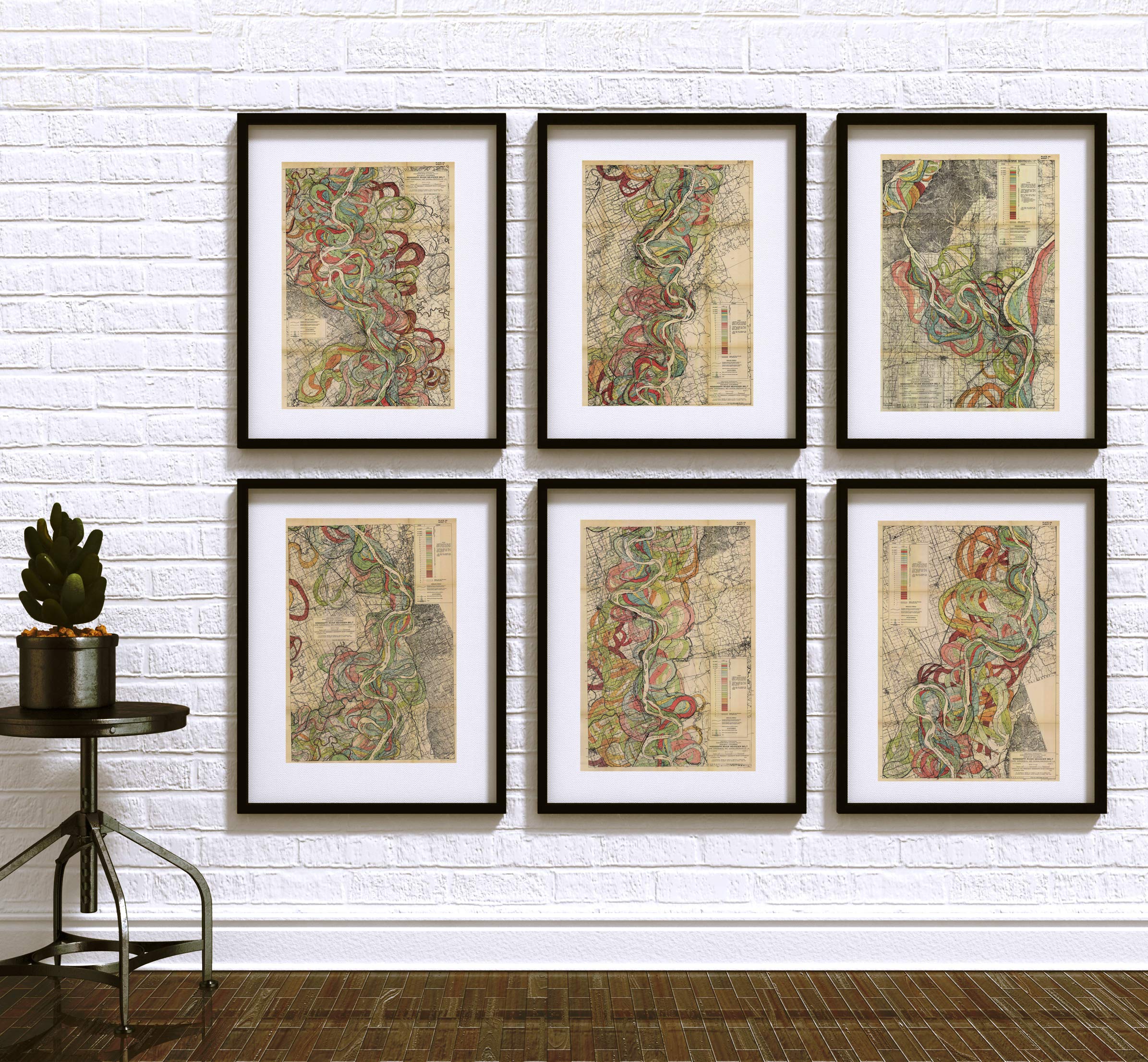
” 1944 Harold Fisk Map Mississippi River Meander Belt Alluvial Valley. This is a modern reproduction of the original map. Sheet 6 features the area between Tunica County, MS and Phillips County, AR. Size 11×16 inches. You can find the other 14 of Harold Fisk’s Mississippi river maps in Our Store. You can see the assembly of all 15 maps under the pictures. This map features the Geological Investigation of the ancient courses of the Mississippi River Meander Belt between Cape Girardeau, MO and Donaldsonville, LA. created by cartographer and geologist Harold Fisk compiled for the U.S. Army Corp of Engineers. The whole set includes 15 plates. Each of the fifteen plates document in vivid color the geography, a different portion of the Mississippi River and its various courses over time. The U.S. Army Corp of Engineers contracted Fisk as a consultant. He made the the full technical report “Geological Investigation of the Alluvial Valley of the Lower Mississippi River”. These 15 maps are only a portion of the whole report. Fisk, died in 1964, before the age of 60. ”
Features
- Harold Fisk’s Mississippi River Map: This is Sheet 5. This is for 1 map only. 11×16 inches. Sheet 6 features the area between Tunica County, MS and Phillips County, AR.
- Geological Mapping: This is 1 of 15 maps that show a different portion of the Mississippi River and its various courses over time. Mississippi’s present and past between Cape Girardeau, MO and Donaldsonville, LA. You can find the other 14 of Harold Fisk’s Mississippi river maps in Our Store. You can see the assembly of all 15 maps under the pictures. This is a modern reproduction of the original map. This map comes with a white border around the image.
- River Decor: Beyond their scientific value, the Fisk maps are appreciated for their aesthetic quality. They blend scientific precision with artistic expression, using colors and patterns to differentiate between various stages of the river’s evolution.
- River Wall Art: These maps visually depict the dynamic nature of the Mississippi River, illustrating how its channels have shifted and meandered over thousands of years due to natural processes like erosion, sediment deposition, and changes in flow patterns.
- Mississippi Gift: Fisk’s work not only serves as a geological record but also provides historical context. By mapping the past courses of the river, the maps offer valuable insights into how human settlements and land use have evolved alongside the river over centuries.


![2 Pack - Giant World Map & US Map Poster Set - Extra Large Mega Chart of the World & United States - Laminated - 46" x 60" [Blue]](https://m.media-amazon.com/images/I/91LEEQUE1bL.jpg)
![Wall Art Impact 26"x24" Poster Resource Map - Australia Mineral Resources Map My [Laminated]](https://m.media-amazon.com/images/I/81kDfsItG3L.jpg)
Reviews
There are no reviews yet.