
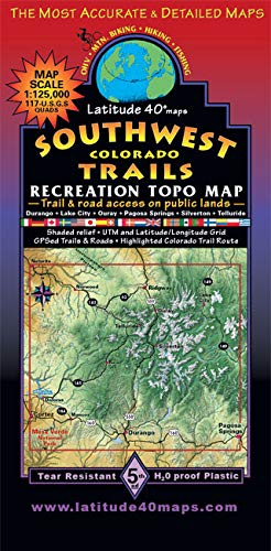
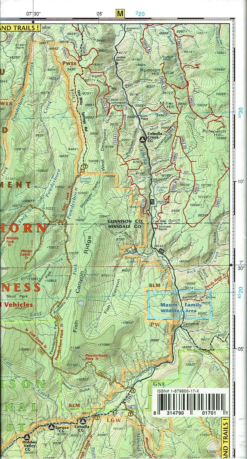
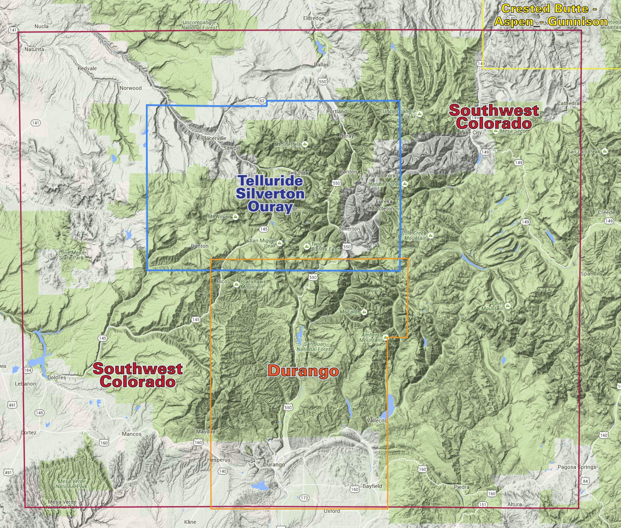
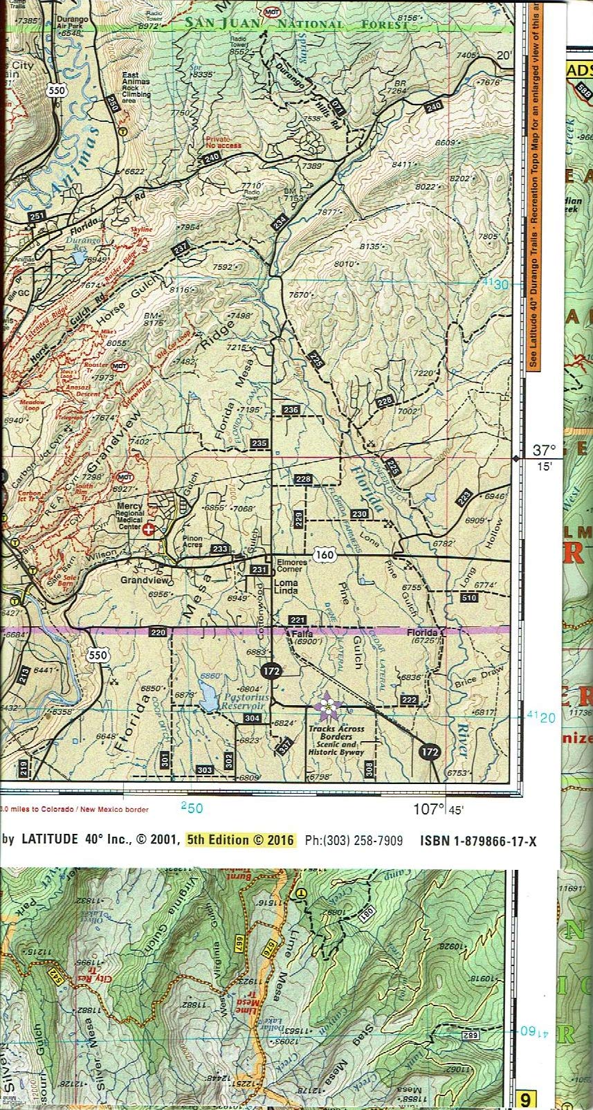
Map covers all or part of 117 USGS 1:24,000 7.5-minute topographic maps: North – Ridgway State Park South – Mesa Verde National Park East – Pagosa Springs West – Cortez Size: 39”x 25” flat 8”x4” folded Scale: 1:125,000 1”= 2 miles Contour Interval 100 feet with shaded relief base Latest Edition 5th 2015 Notes Seven-color, double-sided map Highlighted public access trails and roads for hiking, mountain biking, OHV, and equestrians Includes all or parts of eight wilderness areas and all the classic routes in this beautiful region Latitude and longitude map borders with UTM coordinates This “big picture” map is great for planning where to go and how to get there.
Features
- Seven-color, double-sided map
- Highlighted public access trails and roads for hiking, mtn. biking, OHV, and equestrians
- Includes all or parts of eight wilderness areas and all the classic routes in this beautiful region
- Latitude and longitude map borders with UTM coordinates
- Covers all or part of 117 USGS 1:24,000 7.5-minute topographic maps
Reviews
There are no reviews yet.