
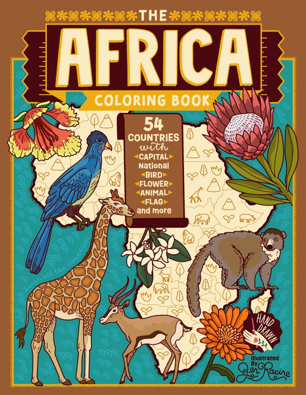
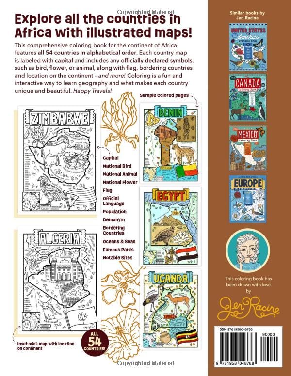
The Africa Coloring Book: 54 Maps with Capitals and National Symbols Learn the borders and national symbols of all the nations that make up the vast continent of Africa. This comprehensive coloring book features unique, original, and hand-drawn artwork that makes learning about the world interactive and fun! Every page features country map, capital, flag, small inset map with placement on continent for reference, and any officially declared symbols – national flower, bird and/or animal. Many pages also include culturally significant artwork, landmark, or national park. The Africa Coloring Book is an interactive and visually entertaining way for kids (and adults!) to learn the geography of Africa. Makes a great resource for social studies curriculum and geography learning! This coloring book has: a full-page map of Africa labeled with each country All 54 African Countries on single pages Flags National Birds National Animals National Flowers Geographical location on continent (inset map) Bordering Countries Bodies of Water *National Parks, Monuments, Artwork, Historical Sites Rich in detail but not cluttered pages Celebrates the diversity and beauty of each country Great content for homeschool and geography fans! *If space allows for that country. Officially declared national symbols given preference. Jen Racine is a professional illustrator with more than two dozen coloring books available on amazon. She has a passion for illustrating maps and learning about the world! Check out her author page for new books.
The Africa Coloring Book: 54 Maps with Capitals and National Symbols (Explore the World Geography Coloring Books)
$8.99
This coloring book teaches African geography, including countries, capitals, and national symbols, in an interactive way.
Additional information
| Weight | 0.354 lbs |
|---|---|
| Dimensions | 21.6 × 0.6 × 27.9 in |


Reviews
There are no reviews yet.