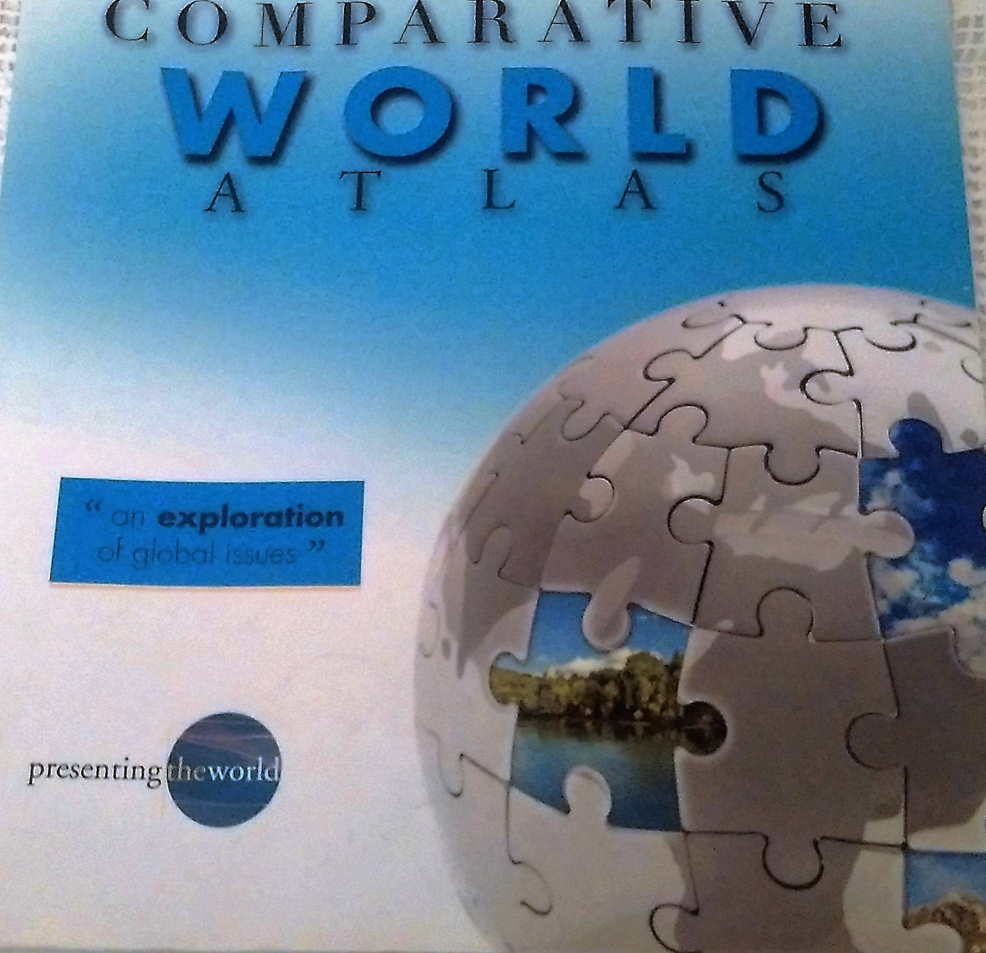
The Hammond Comparative World Atlas is a computer generated reference designed for students, families or anyone interested in current global issues. This completely up-to-date, affordably priced atlas features detailed maps for each continent and the world so that users can examine and compare both the physical terrain and political boundaries of each region. Extensive thematic data – interpreted through maps, charts, and graphics – help readers gain a better understanding of the world’s physical and cultural interdependencies. 51 pages of full-color, computer generated topographic and political maps give users a comprehensive look at both the terrain and boundaries of world regions, reflecting the most current status of all nations 35 pages of world thematic maps, charts and graphs highlight such timely topics as standards of living, structure of the earth, atmosphere and oceans, climate, environmental concerns, transportation, languages, religions and global relationships An easy-to-use 2,600-entry Master Index and Major City Populations Listing, Quick Reference Guide, Global Politics Map, World Statistical Tables and Time Zone Map allow for quick access to key information A guide to using the atlas and a detailed explanation of map symbols and projections provide a thorough overview of basic geographic terms and concepts
Features
- Used Book in Good Condition


Reviews
There are no reviews yet.