

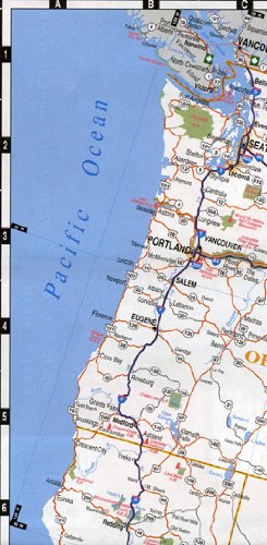
Warren Maps United States Interstate Highway Map is an up-to-date and easy-to-read map of the United States of America interstate and highway system with an Intercity Mileage Table, city index by state, national park and forest service places of interest index, and other places of interest index. The map shows highways and roads (point-to-point mileages, free interstate highways, toll interstate highways, multi-lane divided toll routes, undivided toll routes, multi-lane divided primary highways, undivided primary highways, multi-lane divided secondary highways, undivided secondary highways, scenic routes, historic routes, ferry routes, highways under construction, United States interstates, United States highways, state highways, Great River Road, Trans-Canada Highways, provincial highways, Kings highways, and Mexican Federal highways), Cities & Towns (capitols, urbanized areas, cities over 250,000 in population, cities 100,000 – 249,999 in population, cities 50,000 – 99,999 in population, cities 5,000 – 49,999 in population, cities less than 5,000, and unincorporated towns), and Points of Interest & Recreation (national parks, national recreation areas, national military parks, national battlefields, national memorials, national monuments, national historic parks, national historic sites, national historic landmarks, national landmarks, and other points of interest). Two-sided, self cover, paper folded map. Scale: * Contiguous USA = 1:5,479,783 * main Hawai’ian Islands = 1:2,739,891 * Alaska = 1:11,264,000 Size: 4″ x 9 1/2″ folded; 35″ x 23″ unfolded
Features
- Map features cities, states, interstates, and US highways
- Intercity Mileage Table
- City index is organzied by state
- National Park and National Forest Service places of interest (POI) index
- Other places of interest (POI) index


Reviews
There are no reviews yet.