
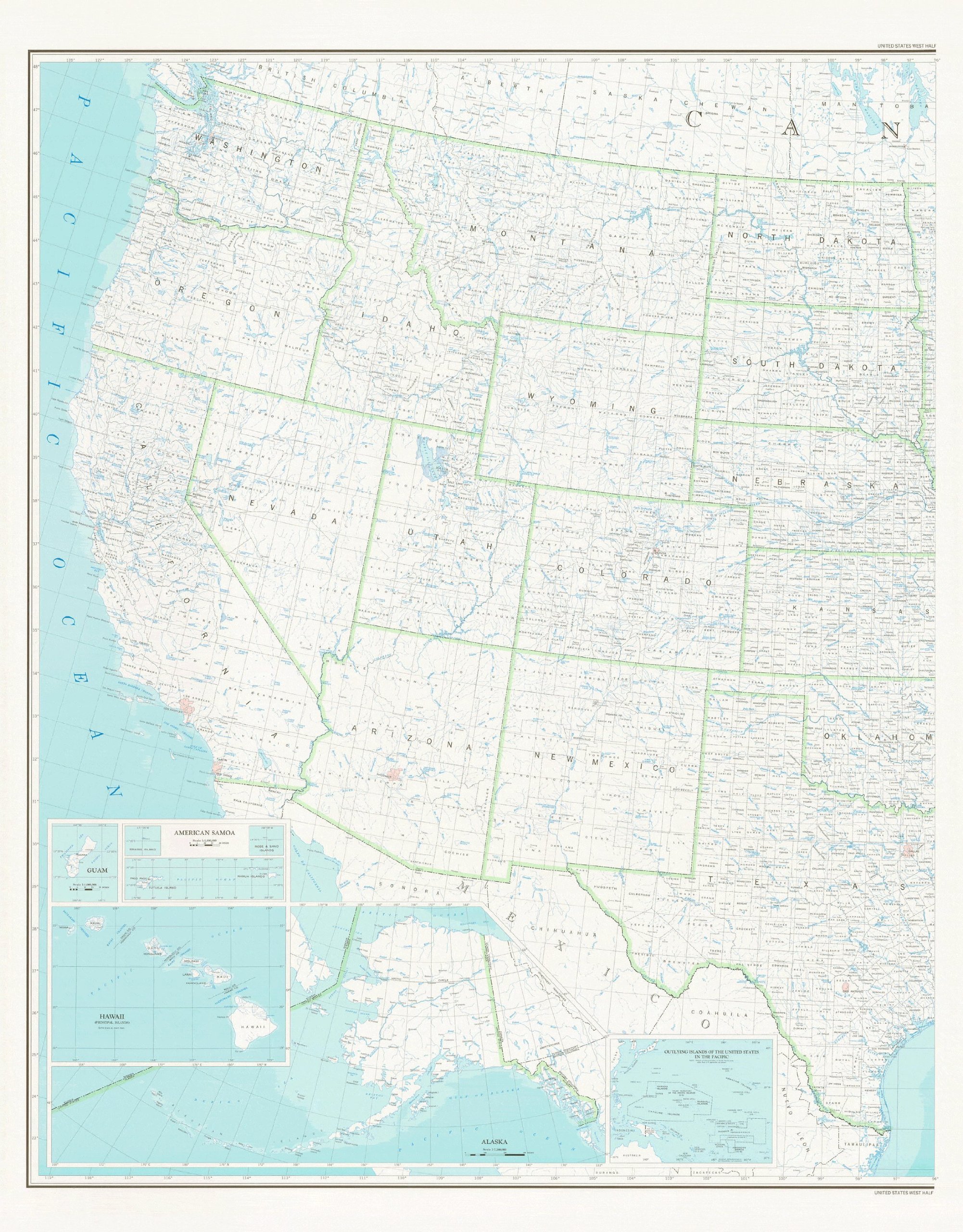
This colorful map shows counties and county seats, states and state capitals, and rivers, streams, and lakes of the United States which are west of 96deg West. Inset maps cover Guam, American Samoa, Hawaii Principal Islands, Alaska, and Outlying Islands of the United States in the Pacific. Dry Erase Lamination is specialty laminate that allows for dry erase markers to be used on the finished print and erased as desired. Dry erase lamination, one-sided wall map. Scale * Western USA = 1:25,000,000 * Guam = 1:1,000,000 * American Samoa = 1:1,000,000 * Hawaii Principal Islands = 1:25,000,000 * Alaska = 1:7,500,000 Size = 42″ x 54″
Features
- Boundary Type: Political Unit
- West Half shows that portion of the United States west of 96deg West.
- Dry Erase Laminated edition is great for use with dry erase markers


Reviews
There are no reviews yet.