
The upper Yellowstone River was mapped from the northern boundary of Yellowstone National Park near Gardiner, Montana to the bridge which crosses the river at Springdale, Montana. The mapped area of approximately 85 square miles encompasses the majority of the area that has been flooded by the river in the last 300 years and therefore includes all wetland and riparian habitat adjacent to the river as well as surrounding land use. The study area covers all of the Paradise Valley where the majority of channel modifications have taken place.
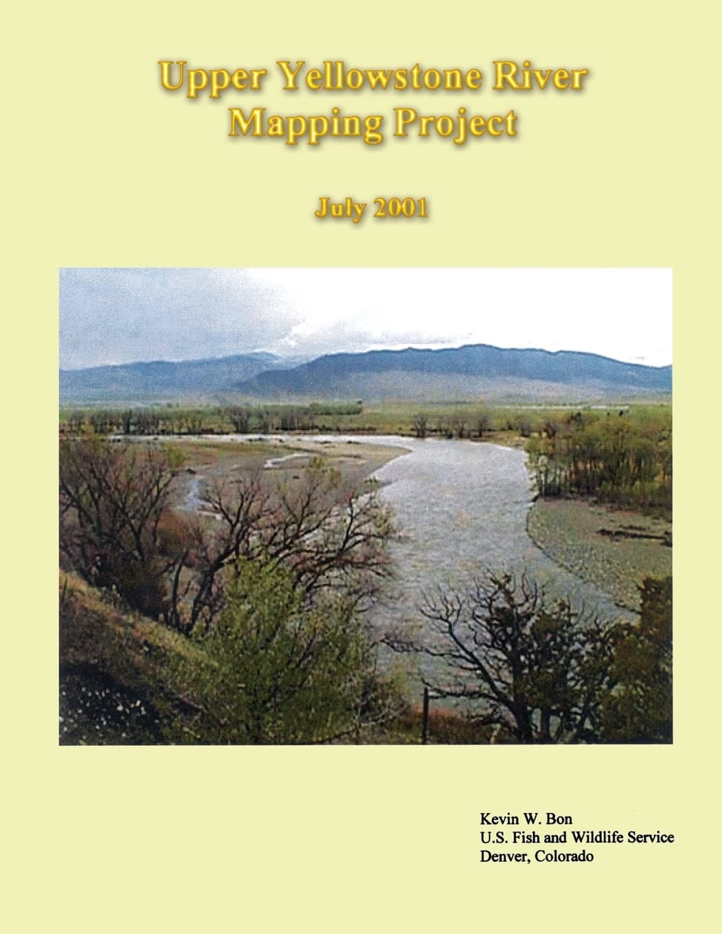
Upper Yellowstone River Mapping Project
$15.99
This book provides detailed geographical and ecological data on the Upper Yellowstone River, serving as a valuable resource for science education.
Additional information
| Weight | 0.104 lbs |
|---|---|
| Dimensions | 21.6 × 0.2 × 27.9 in |


Reviews
There are no reviews yet.