
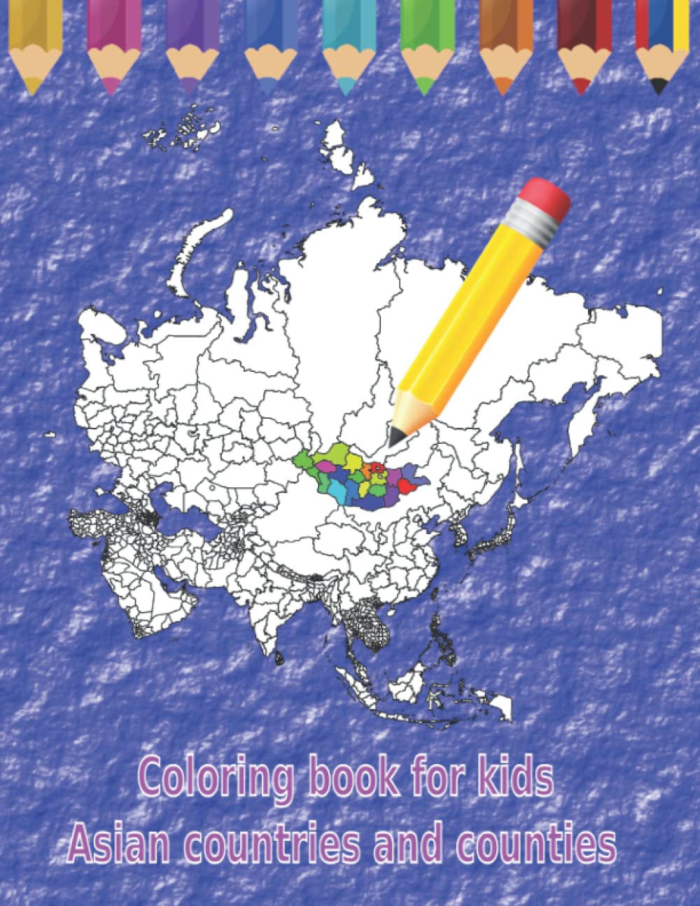
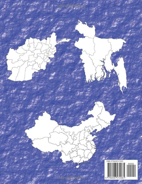
World Atlas Activity and Coloring Book Asian Countries and Counties: Map Continent Coloring Book for kids 7 – 18 years 50 different Maps 102 Pages A4 – 8,5″ x 11″ Large Print White Paper Learn about and color outline maps of Asia and its sub-regions. The blank coloring book is great for learning about the regional geography of Asia. On the left the map of Asia and on the right a country, above the countries the name and the capital of the country in German and English. This coloring book for kids is a great way to get them involved and help them express their creativity. It also encourages them to practise their fine motor skills and use their imagination. The colouring book is aimed at pre-schoolers, primary school children and even secondary school children. The book is designed to help children learn about different countries and their geographical features. It presents detailed maps of Asian countries, including their physical features and political boundaries. Children can colour in the maps to bring them to life as they learn more about Asia. This is a great way to introduce children to geography and help them become more aware of the global world. Blank books in this coloring book are freely photocopied by a teacher or parent for use in the classroom or at home.
World Atlas Activity and Coloring Book Asian Countries and Counties:: Map Continent Coloring Book for kids 7 – 18 years (Malbuch Lander der Welt)
$8.95
This activity book teaches students about Asian geography through coloring and map exercises.
Additional information
| Weight | 0.327 lbs |
|---|---|
| Dimensions | 21.6 × 0.6 × 27.9 in |


Reviews
There are no reviews yet.